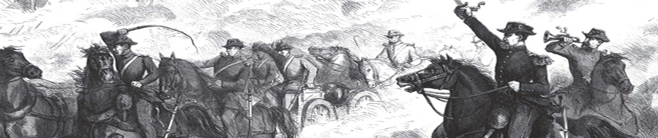
 This one shot publication by the publishing of Frank Leslie’s Illustrated Newspaper was put out to show an entire group of war maps and troop positions.
If you can not read the article click on the image to magnify the newspaper article.
Do you like this newspaper article?
You can find more content like this in the Civil War 1861-1865 Smithsonian HEADLINERS Series